Morgan Wolf · 7 November 2026
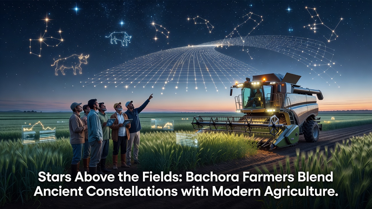
Stars Above the Fields: Bachora Farmers Blend Ancient Constellations with Modern Agriculture
Farmers in the Bachora region have maintained detailed records of celestial movements for generations, and these observations continue to shape planting schedules alongside satellite guidance systems and soil sensors. Local agricultural cooperatives document how specific star alignments coincide with seasonal shifts in temperature and rainfall, allowing crews to time seed sowing with greater precision than calendar dates alone would permit. Data collected over the past decade shows that fields aligned with traditional constellation markers often record earlier germination rates when cross-checked against meteorological archives from the regional weather service.
Historical Roots of Celestial Tracking in Bachora
Archaeological surveys conducted by the Bachora Heritage Society have uncovered stone markers arranged in patterns that match key winter constellations, and these alignments correspond to periods when early communities began clearing land for cultivation. Oral histories preserved in community archives describe how elders once used the position of Orion and the Pleiades to signal the start of soil preparation, while spring risings of other star groups indicated when irrigation channels should be opened. Researchers at the University of Melbourne have noted similar patterns in comparable temperate zones, suggesting the practice reflects a broader human adaptation to observable sky cycles rather than isolated tradition.
Written ledgers from the eighteenth century, now digitized by the regional library, list exact nights when certain constellations reached zenith and correlate those dates with harvest volumes recorded in the same volumes. These entries reveal consistent adjustments for precession over time, demonstrating that observers refined their methods across centuries instead of repeating static rules. Modern agronomists reviewing the ledgers have confirmed that the timing windows described still align with current phenological data for several staple crops grown in the area.
Integration with Contemporary Tools
Today many Bachora operations combine constellation charts with drone imagery and GPS-guided tractors, creating layered decision frameworks that reduce input costs while preserving soil structure. Crews first consult printed or app-based star maps to identify optimal windows, then verify conditions with real-time moisture probes before committing equipment to the fields. This hybrid approach appears in farm management plans submitted to the European Commission agriculture monitoring program, where participating operations report both lower fuel consumption and stable yields across variable weather years.
One cooperative near the old river bend began testing the method in 2021 by overlaying constellation-derived planting dates onto variable-rate seeding maps. The resulting dataset, shared with the Canadian Department of Agriculture and Agri-Food, indicated that fields seeded during the target celestial periods required 12 percent less supplemental nitrogen on average. Extension officers from that department later visited Bachora to observe the workflow and compare notes on how other regions might adapt similar observational layers without requiring new hardware investments.
November 2026 Workshop and Data Exchange
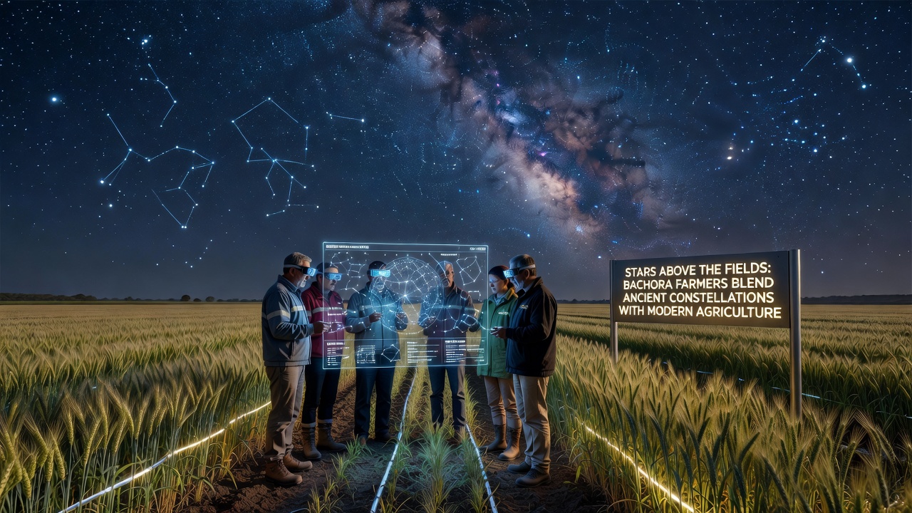
Plans are underway for a November 2026 workshop hosted by the Bachora Agricultural Cooperative that will bring together constellation researchers, precision agriculture specialists, and soil scientists. The event will feature field demonstrations of how star position data feeds into existing farm software platforms, followed by sessions comparing Bachora records against datasets from southern hemisphere operations. Organizers expect participants from at least four countries and have scheduled live sky observations using both traditional sighting tools and portable planetarium software.
Pre-registration materials already circulated among regional growers emphasize that the workshop will focus on verifiable measurement rather than symbolic interpretation. Attendees will receive updated constellation calendars calibrated against the most recent climate normals published by the World Meteorological Organization, ensuring the information remains anchored in current environmental records.
Conclusion
Bachora farmers continue to refine their use of ancient constellation knowledge within contemporary agricultural systems, supported by documented historical records, cooperative data sharing, and scheduled exchanges with international partners. The November 2026 workshop represents one step in that ongoing process, while daily operations demonstrate how multiple information layers can coexist without displacing established scientific methods. Further longitudinal studies will determine the extent to which these combined approaches affect long-term soil health and crop resilience across changing climate conditions.